


Home to about 1000 people during the Austral Summer. It is the most populated place on the continent. There were janitors, cooks, firemen, plumbers, electricians, diesel mechanics, doctors, secretaries, mountaineers, carpenters, machinists, nurses, shopkeepers, teachers, barbers, newspaper reporters, bartenders, welders, heavy equipment operators, aircraft mechanics, radio operators, bus drivers, electronics technicians, pilots, computer support people, warehouse managers, hazardous materials handlers, dishwashers, and a whole bunch of other support people down there. Their main goal was to keep everything running to support the "beakers". That was the name, in some cases affectionately, given to the scientists and their lab rats which were also known as graduate students.

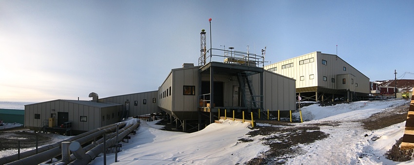
Above is a picture of McMurdo taken from Hut Point (which is the point of land in the upper left-hand corner of the sign picture above). Discovery hut, Scott's starting point on his first attempt to reach the South Pole in 1902, is in the foreground on the left, Observation Hill is on the right, and McMurdo is between the two. Crater Hill is in the background to the left. There are about 40 large buildings, many large fuel storage tanks, and countless rows of piled up cargo in McMurdo. The road to New Zealand's Scott Base runs through the low spot in the hills above the tan-colored buildings. Scott Base is on the other side of Observation Hill.
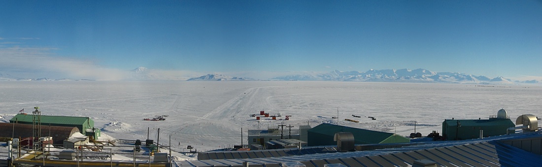
On a clear day you could see across the sea ice that is McMurdo Sound to the Transantarctic Mountains. The series of stitched pictures above is a bit funny looking because of reflections from shooting through a tinted window.
Science projects were hatched and worked on in the offices and laboratories of the three-level Crary Science and Engineering Center building pictured above. The picture of the sound was taken through one of the sets of windows at the top of the top level building in the picture above (where the sun has lit up the side of the building).
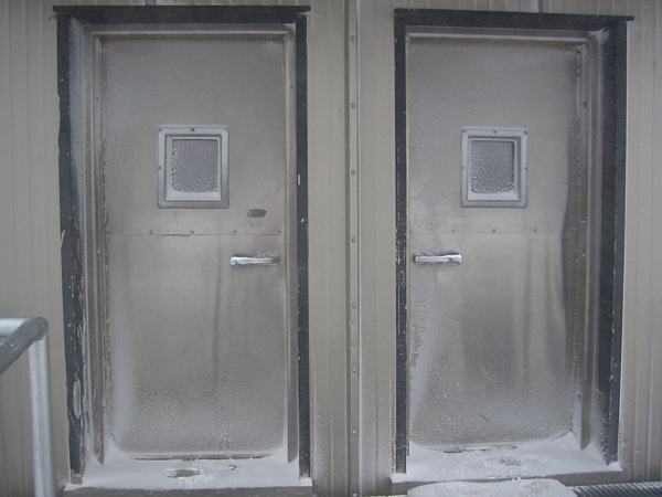
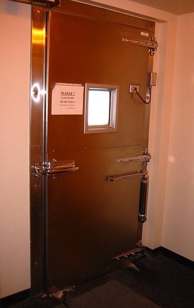
Most of the buildings in McMurdo were made, of course, for the cold weather which included having doors that were exactly like your basic walk-in freezer doors. The only difference was that instead of walking into a freezer you were walking outside, which was sometimes the same thing as, or even worse than, walking into a freezer.
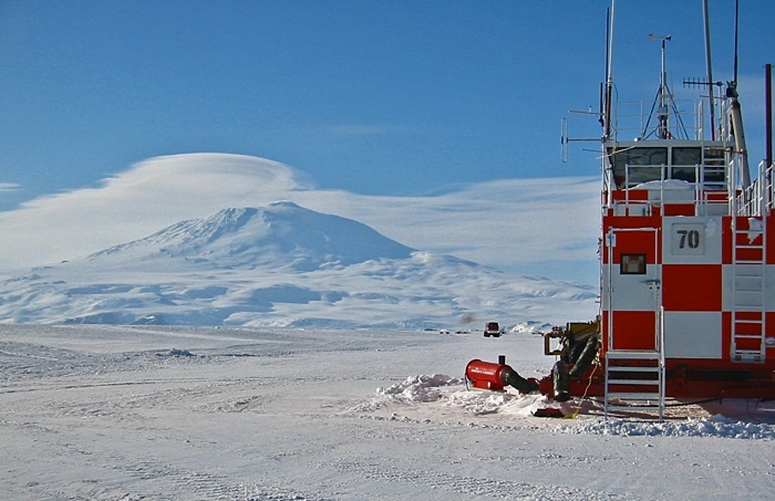
There isn't any flat land on Ross Island where McMurdo is located, so the airport (the "ice runway") is made out on the sea ice, and was, this season anyway, about 4 or 5 kilometers from McMurdo. As the summer progressed the ice where the ice runway was located began to get too thin. At that point the airport was moved to the permanent barrier ice shelf east and a bit north of McMurdo about 8 kilometers away to Williams "Willy" Field. Above is Mt. Erebus from the ice runway. Mt. Erebus can't be seen from McMurdo because of the hills north of town...or south...how about the hills between McMurdo and Mt. Erebus.

Above is a picture of some C-130's at the ice runway. This picture was taken at about 3 o'clock in the morning in late October. This was as low as the sun got at that time of the year. The next sunset in McMurdo would be around February 20th. The rest of the summer the sun just kept going around in a circle -- a little higher in the sky during the "day", and a little lower during the "night", reaching the highest points at the Summer Solstice in December.

Mapmaking was taken rather seriously in McMurdo.

2018-03-05