

This was pickup day. The Texans had been collecting data for about four days. People from Reno to Salt Lake City fanned out across the two states to recover the instruments. On our way from Salt Lake City to Elko, Nevada, Willie and I stopped off to "help" by picking up a whole four instruments for one of the teams.
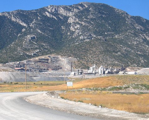
Just a few miles west of Wendover, near were there had been the town of Pilot, or at least a spot on the map along the railroad tracks named Pilot, was a gold mine up against the Toana Mountains.
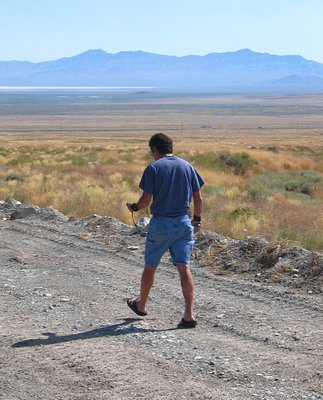
Along the side of the road from the interstate to the mine were our four instruments. Somewhere.
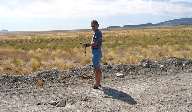
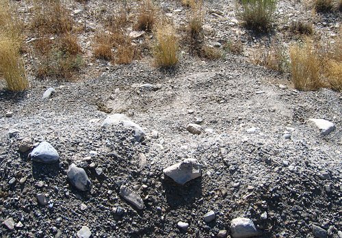
Now you don't see it...
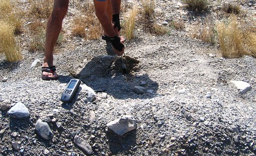
...now you do. All we had to help find the instruments were GPS coordinates, which, were surprisingly accurate for the normal handheld receivers that everyone was using. The coordinates that were recorded by deployers Shaun and Jim Scott always got us to within a couple of feet of the buried instruments. Rocks near the instruments were marked, but some of them had been moved, or the markings disappeared. It looked like it had rained in the area while the instruments were in the ground. That always makes finding them more interesting.
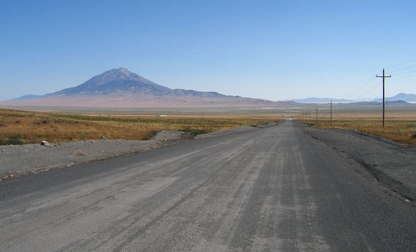
Above is looking down the road coming from the mine and towards the interstate. The mountain is 10,715 foot high Pilot Peak. The plain surrounding it is about 4,300 feet in elevation.
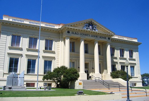
Our base of operation for the pickup was Elko, Nevada which was near the west end of the deployment line. We arrived early in the day from Salt Lake City and did a bit of driving around before we could check in at the hotel.
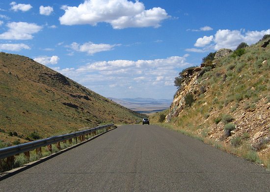
Near Elko, in the middle of what I thought was nothing but desert, was a pretty surprising place.
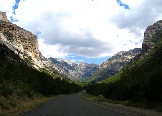
Now if that wasn't formed by a glacier I don't know what was and I don't even know anything about geology. Most of what looks like snow wasn't, but there was some around the peaks further up the canyon. This was Lamoille Canyon in the Ruby Mountains.
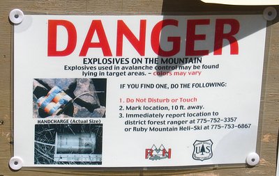
How is it that I always end up in places like this?
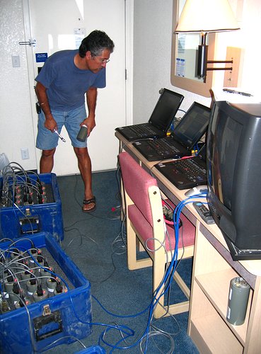
Packed into a room at the Motel 6, which is not uncommon, we set up shop and
offloaded the recorded data from the instruments. With most of the deployment
line to the east of Elko, and Reno a long way west from here, each deployment
teem had to go through Elko. After they finished collecting their instruments
they stopped by, got their data offloaded, and then continued on to Reno.
It took about an hour to get the data from each team's instruments.
The project wasn't a "bust", but we did have a pretty high failure
rate. Most of the instruments failed to make it all of the way through the
90 hours of record time, and a lot of the ones that did make it all of the
way through failed to have enough power left in their batteries to keep their
internal clocks running. The clocks need to keep running in order for the
data to be properly timed. Willie and I thought all of the trouble was our
fault -- or at least Willie's fault -- but we later found out that during
manufacturing the factory pulled a substitution on an integrated circuit chip.
It was not a good substitution. The chip in the newer units -- those after
about the first 40 -- used much more power than the ones we had tested in
the lap -- from the first 40.
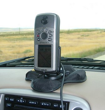
We put just over 2000 miles on our rental vehicle during this experiment. I bought the "bean bag" dash mount for my Garmin 76CS about half-way through the experiment. I've used it quite a bit since.
An overnight stay in Elko, a couple of days of processing data in Reno, and this experiment was over. For us PASSCALians, anyway. This was a good experiment. We worked some, got to see a few new things, and managed to collect a bit of data. Thanks to the folks at UNR for all of the fun!
THE END
2018-01-27