



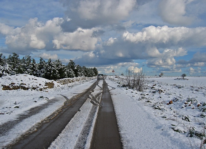
Some portions of southern Italy are pretty sparsely populated. The area around station designated SX11 and the town of Minervino, Púglia was one of those places. You might even have called this area The Wild Wild East of Italy.
 <
<
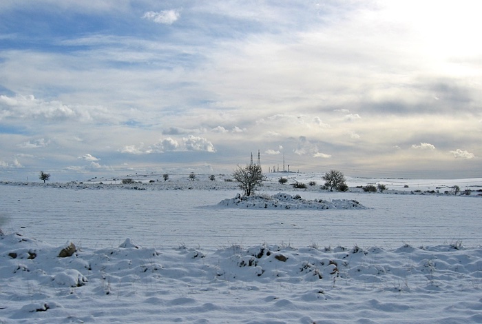
This station was on what was called Le Murge which is a large limestone plateau that makes up a large portion of central Púglia. To the south of the site was Monte Cáccia (Hunting Mountain) at 680 meters tall. It didn't look like much, because the rest of the area was at an elevation of about 600 meters, but it was pretty hard to miss. It was covered with transmission antennas of various types since it was the highest thing around.
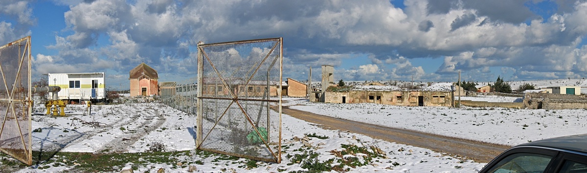
The actual location of the station was at an abandoned well at a place called Masseria Coleti Píccola. This collection of buildings -- the old ones to the right and not the new one on the left -- was the center of an old collective farm.
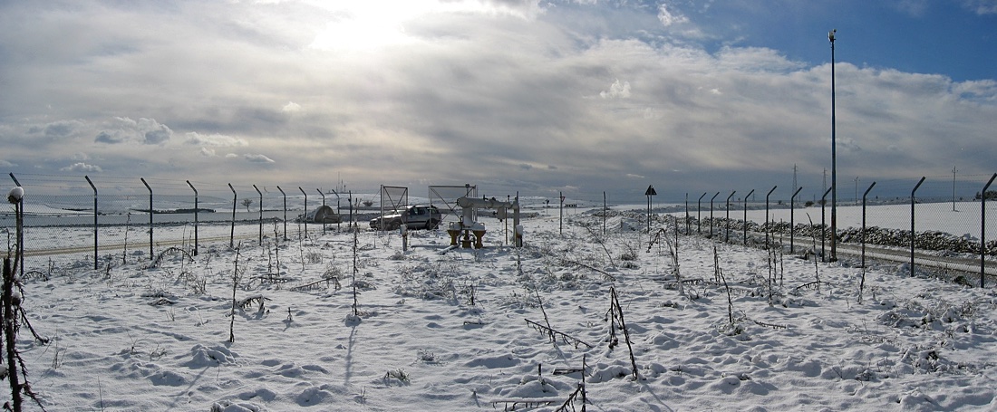
In the picture above it looks cold...and it was. In addition to being cold the wind was blowing quite a bit. It was pretty, though.
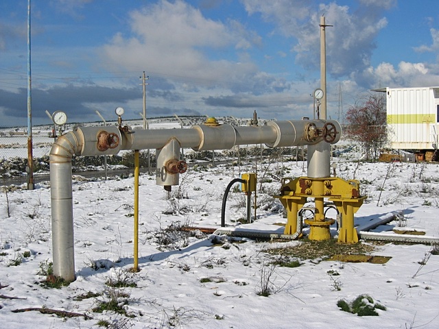
I don't know what the state-owned petroleum company Agip was drilling for, but the well at the station was abandoned by the company after reaching a depth of seven kilometers! Apparently they did not find what they were looking for. They were lucky they did not hit a pocket of magma and create a volcano after drilling to that depth given Italy's volcanic history. Just kidding.
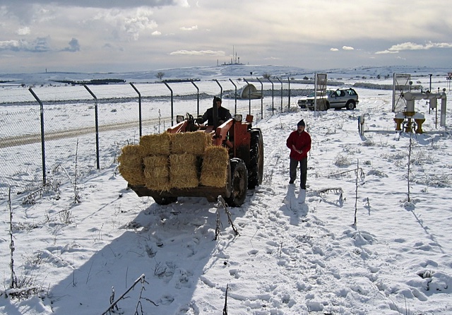
To help shield us from the icy wind we bought some bales of hay from the nearby farm and even got them delivered.
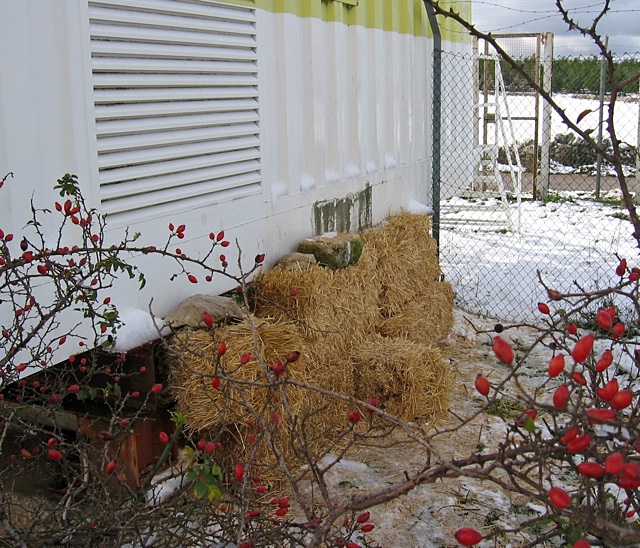
We stacked the bales on the ground across the back of the building to seal off the area where we were going to be working.
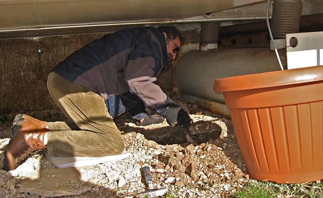
There was no preexisting place suitable for the sensor so we had to make one. A hole large enough for one of our flowerpot vaults was dug using a cement trowel and not much else. It looked like the dirt beneath the building was construction fill. There was quite a bit of garbage mixed in with the rocks and dirt. One item I dug up was a glove. When I first saw it I thought for a second that I had come across Jimmy Hoffa, but it turned out that it was only a glove.
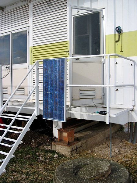
The solar panel was mounted on the handrail outside the door to the building along with the GPS antenna.
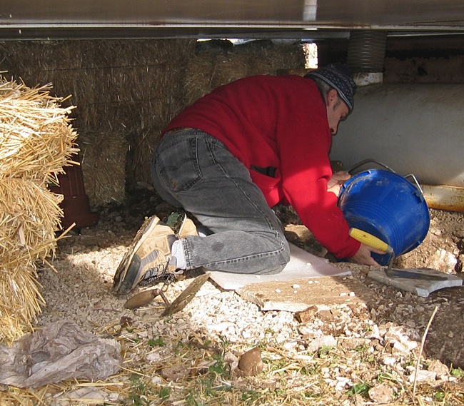
Since there was no bedrock in the area a cement pad had to be poured in the bottom of the finished hole upon which the sensor would be placed. Above is Gianni Cimini of INGV who had a seismic station at this site during a previous experiment.
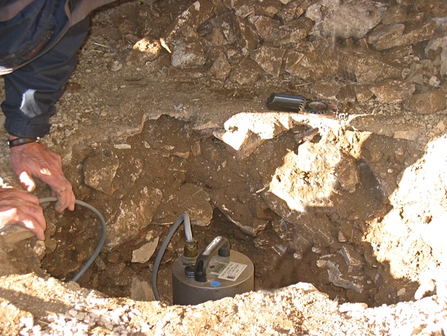
The next day we returned, placed, and aligned the sensor on the pad.
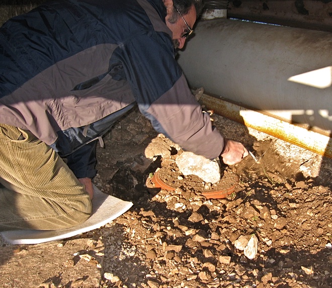
The sensor was covered with a flowerpot and dirt. The hole was deep enough so the top, or rather the bottom, of the flowerpot would not stick up above ground level and generate noise for the sensor as the wind blew by.
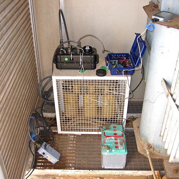
The recorder, battery, and solar power regulator were placed inside the building that was on the site. Some sections of the floor were grating through which the cables could be passed to the equipment outside the building. It seemed like the perfect site.
2018-03-05