


As I said a few pages back we covered a lot of ground. While the locations where the stations were placed were all very interesting the countryside itself never ceased to amaze me. There was always something to see.
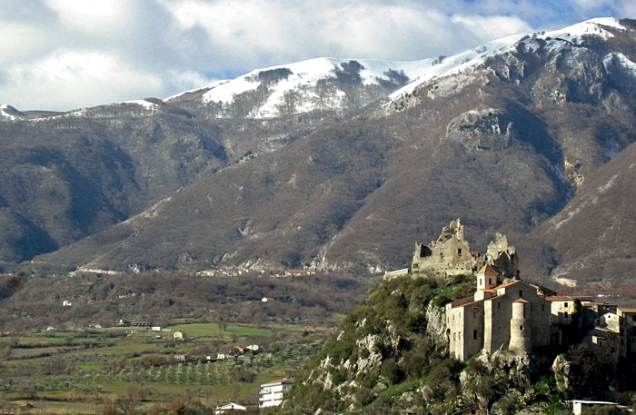
Below is the castle and church of the town of Senerchia, Avellino, Campánia. The mountains of the Monti Picentini group in the Parco Regionale dei Monti Picentini are, majestically, in the background.
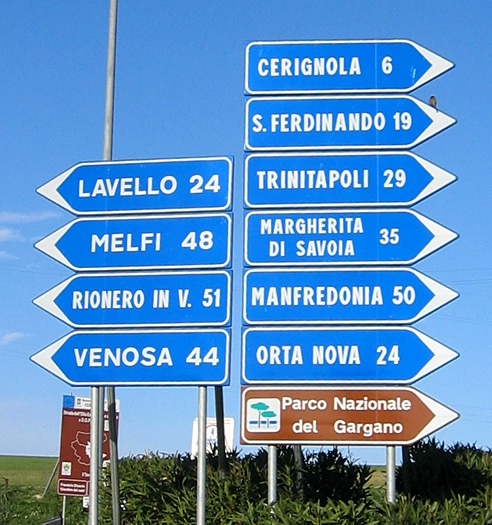
In Italy you have to know where you are going before you get there. All of the roads in Italy have numbers, and some good maps even show them, but at intersections you rarely see signs telling you which direction to go based on the number of the roads. What you will always see are signs indicating which direction to go to towns along each road. Sometimes they are large towns, and sometimes they are not. It gets especially interesting when you come to a fork in the road and both branches lead to the same town, but just using different paths. One way may get you there in a reasonable amount of time, and the other way may be the scenic route. If you drive over there you should also be aware that signs like those in the picture below never point up or down, but only right or left. So if you get to an intersection and the arrow is pointing to the left it could actually mean that you should go straight.
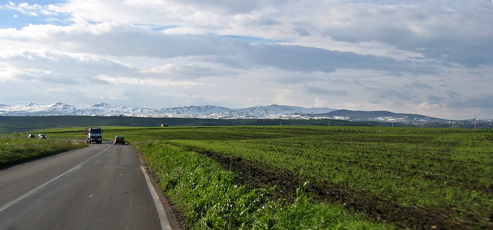
Below is a picture taken about 10 kilometers east of the town of Venosa, Basilicata. We are about to drop down into the valley cut by the Fiume Matinella (Matinella River). Once down there you climb back up to Venosa. The city of Melfi, Basilicata is somewhere in the mountains in the background.
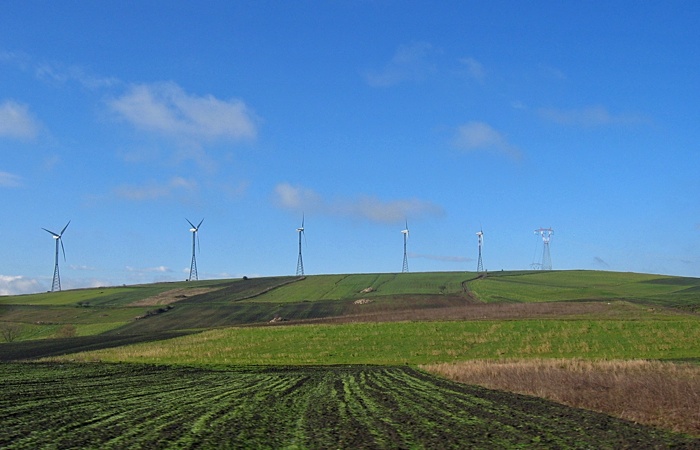
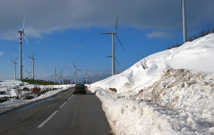
Windmills were pretty popular for the generation of electricity along the tops of mountain ridges in Campánia. The ones below were on the ridge of mountains to the south of and overlooking Grottaminarda. You can see that it snowed a little. The elevation here was a little over 800 meters. We were returning, at night, from a long day of deploying and servicing stations when this snow was falling. Driving past these windmills was the usual route we took to travel south and east of Grottaminarda. We, fortunately, took the long way around to get back to Grottaminarda the night that it snowed and did not come this way. We ended up traveling behind a snow plow for a couple of hours to get back to Grottaminarda going the long way, otherwise we would have probably ended up stuck somewhere along this road.
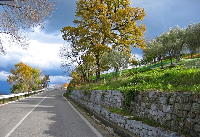
This was along the road climbing up to San Giovanni a Piro, Campánia.
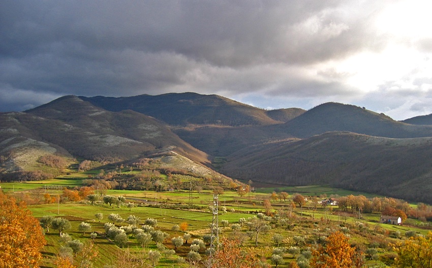
Below is a small valley surrounded by the Parco Nazionale Del Cilento e Vallo Di Diano, near the very small town of Varivertola, just east of the town of Sanza, and about four kilometers west of Buonabitácolo, Campánia...just in case any of those show up on your map. This is at the southern edge of the park, looking south, so the mountains are not very large. If the picture had been taken looking in the opposite direction it would have been a different story.
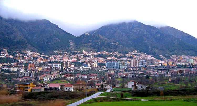
Sala Consilina, Campánia against the Monti Della Maddalena.
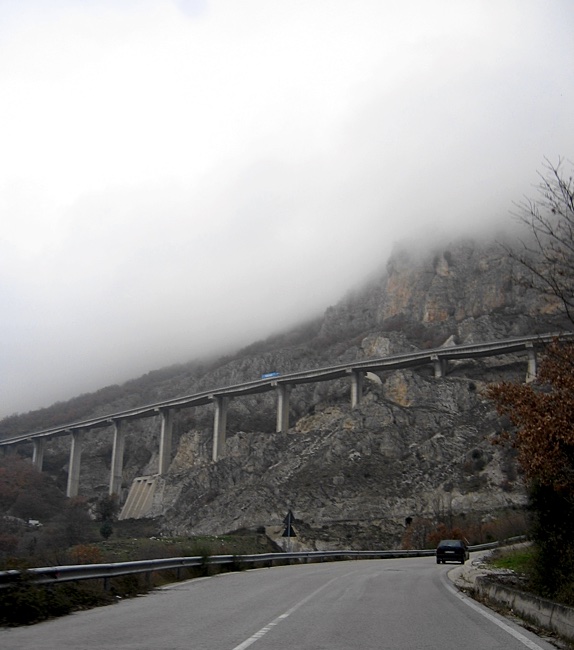
Below is a section of highway number 407 (an autostrade-like road) near the town of Vietri Di Potenza. I didn't get a good picture of it, but the road ran for quite a distance elevated above the side of the mountain. Handy in an earthquake-prone area.
About the blue arrow buttons below... If you ever drive anywhere in southern Italy you will see road signs like the two with the single arrow all over the place and pointing in every conceivable direction.
2018-03-05