


There have been plenty of pictures of it already, but the vastness of northern Nevada is worth a second look.
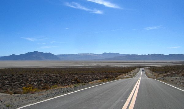
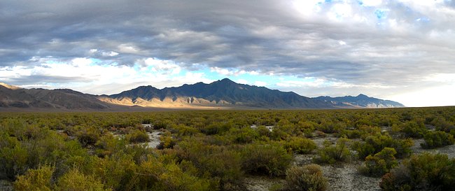
Below is along Highway 34 just north of the town of Gerlach looking out over the southern tip of the Black Rock Desert-High Rock Canyon Emigrant Trails National Conservation Area. Old Razorback Mountain is on the left with Dry Mountain and its range in the background. I think that's the Selenite Range on the right. I think this is the area where the annual Burning Man Festival is held. It's a bit of a new age, old age get together in the middle of nowhere by people from all over, but mostly from the California coast. We just missed the week-long event.
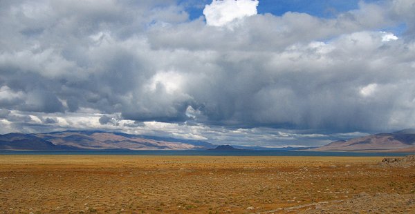
It's hard to see in the picture below, but that's Pyramid Lake about 50 miles northeast of Reno. The small black bump is Anaho Island in the middle of the lake, which is where islands usually show up. One of the methods of getting to Soldier Meadows was to drive almost all of the way down to Reno then all of the way back up past Pyramid Lake. That was the very very long way to go. If you had a suitable vehicle, or an unsuitable rental car, you could dirt-road-it west from Winnemucca then turn up toward the ranch which made the trip only very long. I made the mistake of going the very very long way only once. A regular car wasn't able to drive along the main deployment line -- the long way -- to reach the ranch.
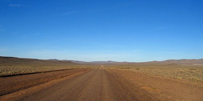
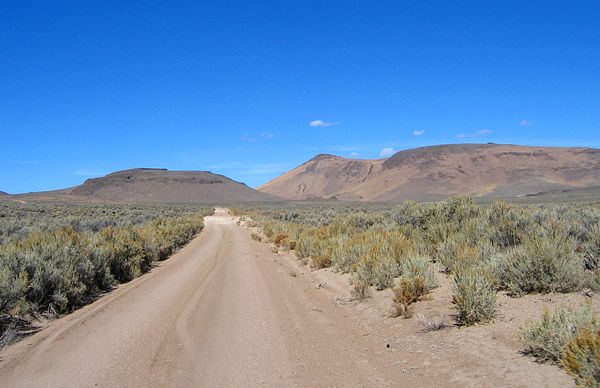
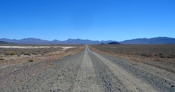
Looking northeast along road 8A. Only about three hours from home (Soldier Meadows).
Below is Summit Lake which was about 10 miles north of Soldier Meadows. It seemed more like a distance of about 5 years. Yup. That's snow on Summit Lake Mountain.
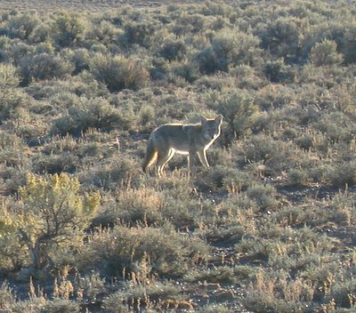
The area wasn't, of course, totally uninhabited. There were plenty of rabbits and coyotes.
This was on the road where we decided that the western end of the passive deployment line began. After the first day of deploying we left all of the batteries for the stations hidden in the bushes off to the right. I'm not sure why we hid them. If you have a good map of Nevada this was just past Virgin Creek and near Baleman Spring Camp. That's Badger Mountain on the right. I don't know what that hill was on the left.
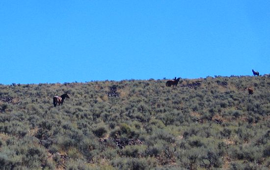
Wild horses couldn't get me to...well I guess they could get me to come to northern Nevada. We didn't put any sites on it, but we did pass through the Sheldon National Wildlife Refuge which was a wild horse management area complete with wild horses. Unfortunately too many of the "wild" horses really aren't wild, but are offspring of former domestic horses that have gotten loose over the decades. Folks in the area want to get rid of these feral horses, because they are trampling and eating way more than the land can handle, but the "environmentalists" won't allow the problem to be eliminated. We'll assume that these horses were the good ones.
I think that is Sentinel Peak which was near Leonard Creek Ranch on the first deployment line that I helped with.
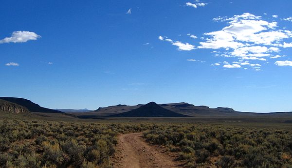
This is looking south from the where we deployed the cable systems. That's the Jackson Mountain Range. Another temporary line of 30 stations that I helped to deploy ran along the southern portion of this mountain range.
This was where I had my flat tire on the road to Sulfur and then Winnemucca.
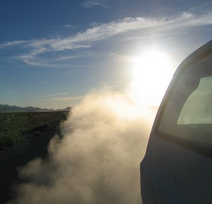
The back roll down window on the Suburban that Ewnet, Nathan and I road in on our first trip to Soldier Meadows became stuck in the lowered position. I am still cleaning out dust from some of my equipment. We and everything in the truck were covered with a layer of dirt by the time we arrived. At least it wasn't raining.
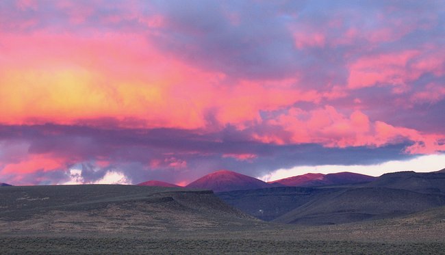
The picture below is of the mountains that were to the east of Soldier Meadows Ranch that I took one sunset while I was slaving away in the shop. I believe that's Red Mountain in the distance which in this case makes perfect sense.
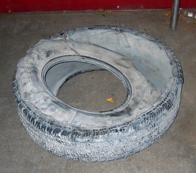
Below is a specimen of the Common Northern Nevada Flat Tire.
2018-02-08