


Ta'u is the largest of the three major islands in the grouping of islands about 70 miles east of Tutuila known as Manu'a. Ta'u and the other two islands of the group, Ofu and Olosega, were the spiritual center of Samoa, and to some extent all of Polynesia, prior to Western colonization.
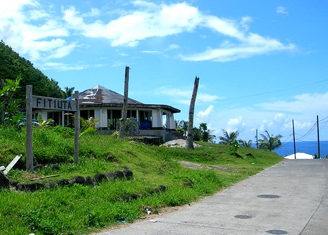
Below is Fiti'uta. Apart from it, and the whole island, being somewhat isolated, it being difficult to get around with no rental cars and not a lot of private cars, and there not being any restaurants, it was a pretty nice place. It DID have the main airport for the island. Fiti'uta was our base of operations, which was convenient since it was where we ended up putting the station.
Samoa, at 14 degrees south latitude, is susceptible to tropical cyclones (same as typhoons, hurricanes, etc.). The last time the island had been hit when we were there was February 2005. Roofs were removed from the houses, church windows were smashed, and trees and crops were destroyed. I went through a typhoon in the Philippines while living in a village where most of the houses were made of sticks and palm fronds. It wasn't a lot of fun or pretty. Most of the houses in Fiti'uta were brick and lumber, but they still suffered a lot of damage. Things were getting rebuilt, but there was still quite a bit to be done. The work was getting done at the speed of the Federal Emergency Management Agency (FEMA). There were stories aplenty about that. Poor trees.
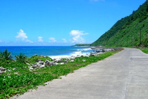
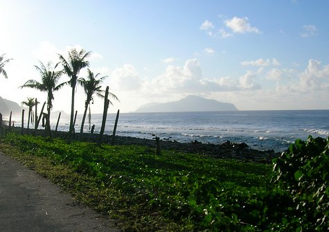
Below is the road along the north coast of the island and Loto Point off in the distance. The island was kind of square and 99% of the population was concentrated in the northwest and northeast corners. Everywhere else it was pretty quiet.
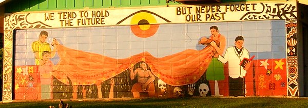
Below is a picture of a mural that was on the side of one of the buildings at Manu'a High School.
Below is the neighboring island of Olosega with Ofu barely peeking out from behind it. Siulagi Point is on the left edge. More poor trees.
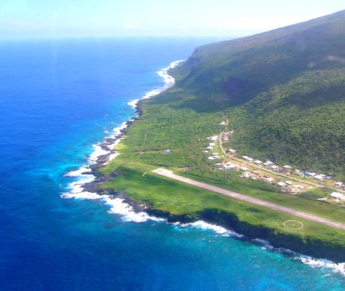
Below is the northeast corner of the island and the eastern shore. All of the houses in the picture were part of Fiti'uta. The big, straight road was the runway at the airport. The cliffs near the circle next to the runway are Cape Papatele. Tiafau Point is to the left of the end of the runway, then quickly after that (up) comes Fogamutia Point. Papasao Point is the last point of land near the top of the picture. From there the coast made a slight turn to the right. Papasao Point was about 1/3 of the way to the southeast corner of the island, and was about 1/2 of the way to Saua. "So what?", you say?? Well...Saua was only the place where the god Tagaloa (that's THE god to you, me, and the Samoans) was said to have created the first humans before sending them out in to Polynesia. Ta'u, in fact just around that bend, and the Manu'an islands were the cradle of civilization.
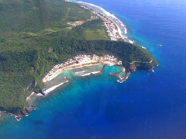
Below is the other populated part on the northwest corner of the island. Toa Cove (part of it) is on the left edge of the picture then moving to the right is Moegauila (the point that looks like it has three toes), Fa'asamene Cove (the little cove), Tufu Point, the town of Faleasao in the big cove or bay, Si'ua'i Point (the long spit), Utusegisegi Cove (with the dark blue water and no beach), Utumanu'a Point (the big point), then the town of Ta'u going up the coast. The old airfield was where the jungle is slightly bare near the top of the picture (not the straight road-looking line -- that is a road -- but above that). The runway at the old airfield was a little too short and landings a little too exciting for comfort as the years went on after its initial construction, so it was shutdown and the airport was moved to Fiti'uta. These aerial shots are not the best. The windows on the plane were a bit dirty and warped. Again...the water really was that color.
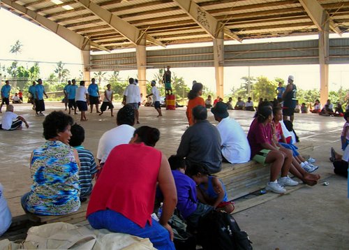
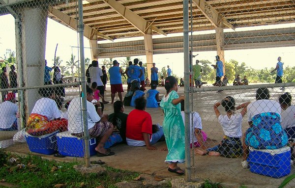
Samoans are pretty athletic. They have game fields of nearly every description throughout the islands. Football, soccer, rugby, baseball/softball, basketball, volleyball, kirikiti (a local form of cricket), etc. Below was an inter-island volleyball tournament that was held one Saturday at the high school. There were teams from all over the area.
Below was the ferry from Ta'u to Olosega and Ofu loaded with the volleyball team from Ofu. In there somewhere was Stanley from Inter Island Airlines and his wife Tina, who was from Ofu. Stanley spent time there when not working out of Pago Pago.
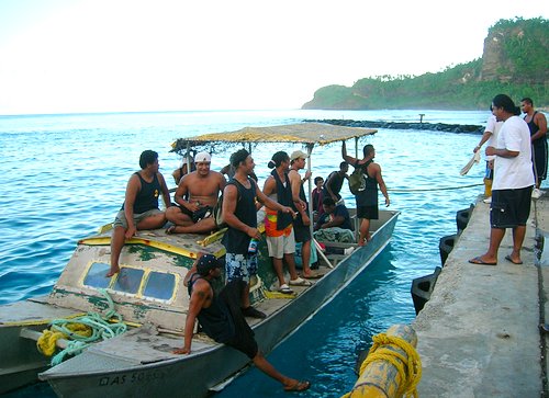
Tina -- on the left.
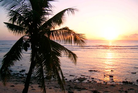
The one good tree left on Ta'u watching the sunset. Oh, not really. It wasn't
the only good tree left, but it was watching the sunset.

2014-11-30