


A journey of a thousand kilometers begins with one step. Had the metric system been around in the sixth century B.C. I'm sure Lao-Tsu would have said something like that about the hike to the monitoring station at Manitonito. This journey, while a couple of kilometers shy of a thousand, certainly came close to that distance given the terrain, the heat, and the humidity. As a side note, I guess the English system of measurement was around in the sixth century B.C., since I always see Lao-Tsu's quote with the distance being expressed in "miles". Huh, who knew?
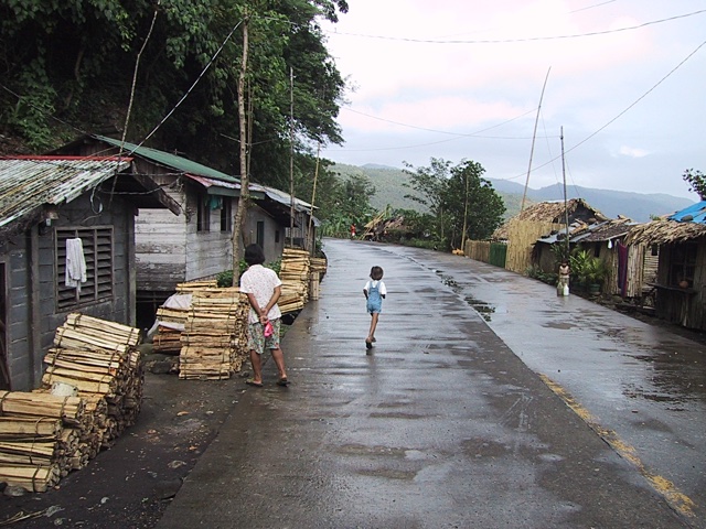
The road to Manitonito began in the town of Bariis. Bariis is a town on the edge. Not on the leading edge of technology, but on the edge of the sea. Actually, it's the Lagonoy Gulf, but close enough. The road in the picture below is the National Highway which connects a good portion of the Philippines together. Using this road, and several ferries, one can traverse nearly the entire length of the Philippines. Just watch out for the chickens and the cows parked in the middle of the road around just about every curve.
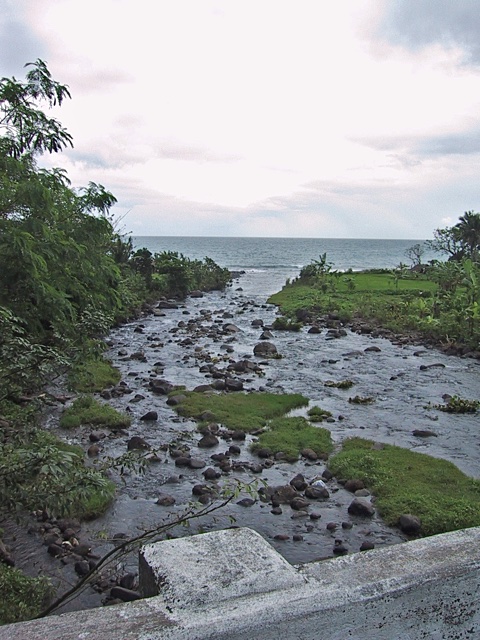
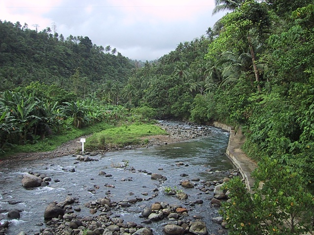
The Bariis River splits the town at the National Highway, and forms the first part of the path that we had to follow. The walkway on the right was the beginning of the path, and the location we are going to isn't even close to being visible in the photograph below.
2018-02-08