


About 20 kilometers east along the coast from the Los Corrales/Caraballeda area is the river Quebrada Seca. This river also caused a great deal of death and destruction during December 1999.
We hiked up the river to the point where it was just a couple of small waterfalls.
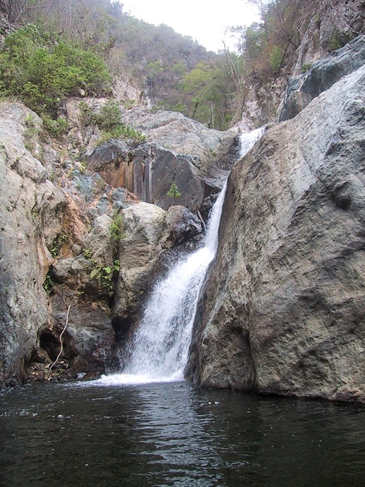
There was a dam a little way downstream from the waterfalls that created a pool of water. A pipe carried water from the pool down through the small canyons and out into the main riverbed. The pipe was not very large, so I'm not sure what the supply of water was for. There was evidence of a previous water line, as well as a previous dam.
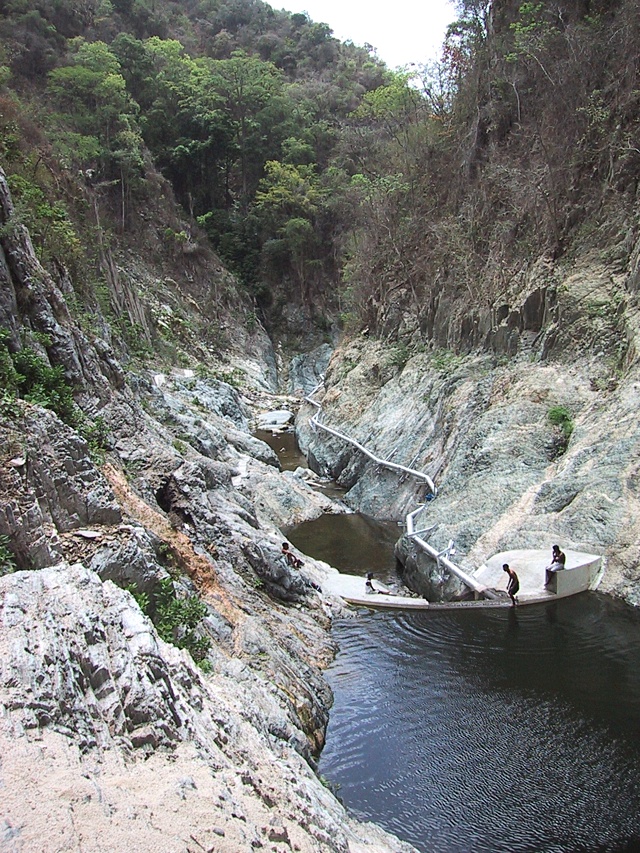
The river made a couple of jogs and opened up to the start of the main riverbed that continued on to the sea. There was enough reasonably flat ground in the area to make the assumption that there were probably many people living here before the flood. They aren't living there any more.
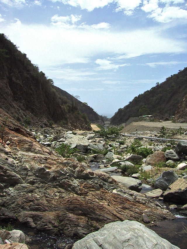
The picture below was taken further downstream. Prior to the flood and mud, the area from this point down to where the river enters the town proper near the highway was quite heavily populated. Now everything that is left is mostly buried.
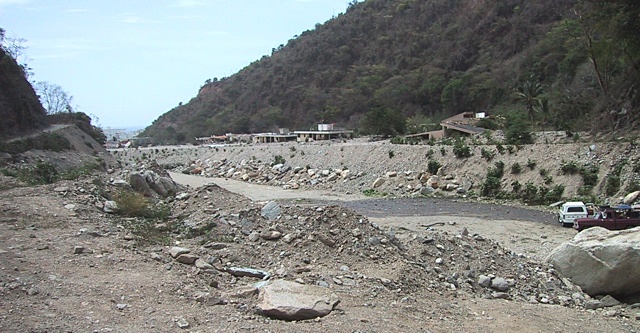
The area contained some pretty nice houses.
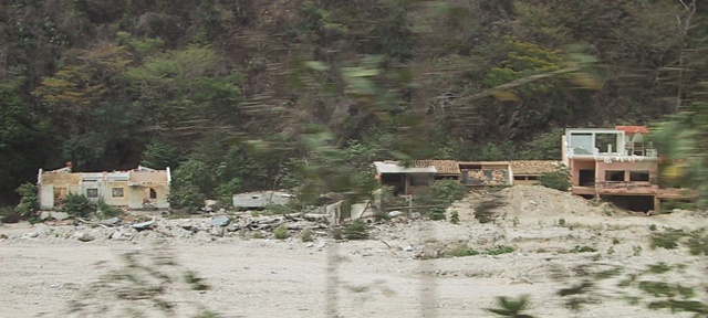
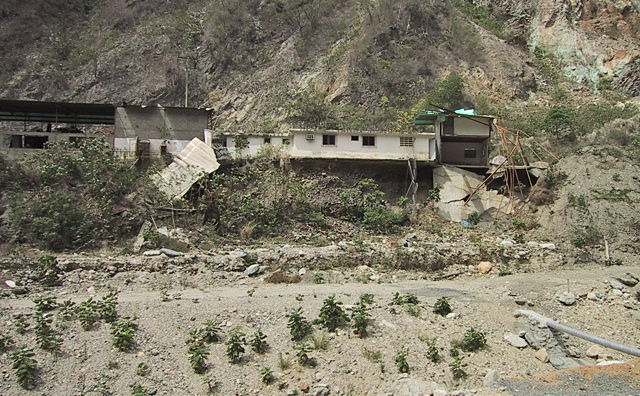
What wasn't low enough to be buried instead had the ground swept out from under it. Possibly because this river was much shorter and smaller than the one in Caraballeda there were hardly any huge boulders, and little evidence of large trees. This was closer to a mud slide.
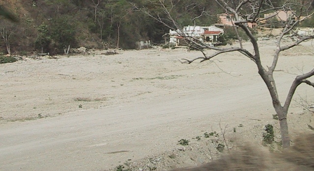
The flat, barren area below was filled with houses before the flood.
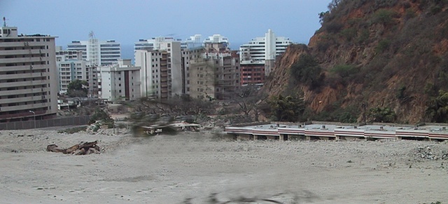
This appeared to be some sort of shopping mall with eight or ten small shops now buried up to their roofs.
2018-02-08