


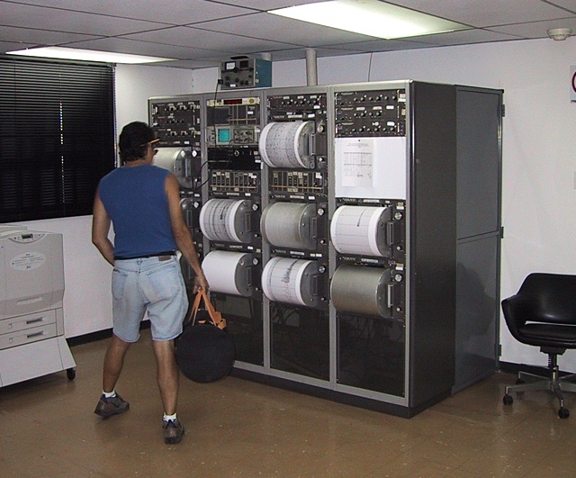
OK, so we do have one of these at PASSCAL, but it is just for show, and not for real life. Because of the geographical nature of the country -- it sits at the boundary of two tectonic plates -- many areas of Venezuela are covered with networks of seismic sensors. FUNVISIS, being the government's involvement in all things seismic, was involved with some of the sensors. Above is a photograph of the drum recorders that recorded the signals from several seismic stations in the area around Caracas. The dark area that you can see recorded on the bottom center drum (and two of the other drums) was a 7.2 magnitude "aftershock" (most serious earthquakes are not even that big) that was generated in the region of the 8.3 magnitude earthquake that hit the area of Camana, Peru in June 2001.
FUNVISIS was modernizing its network of seismic stations with a satellite network.
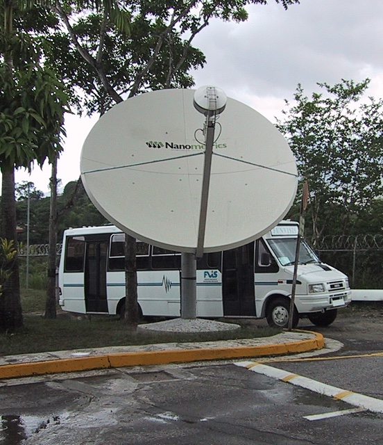
There were six seismic stations whose data was transmitted back in real time to the control center at the FUNVISIS office via satellite connections. The plan was to have 36 stations covering the country when the project was finished.
Instead of drum recorders the data went by on a computer monitor and was digitally recorded on a computer.
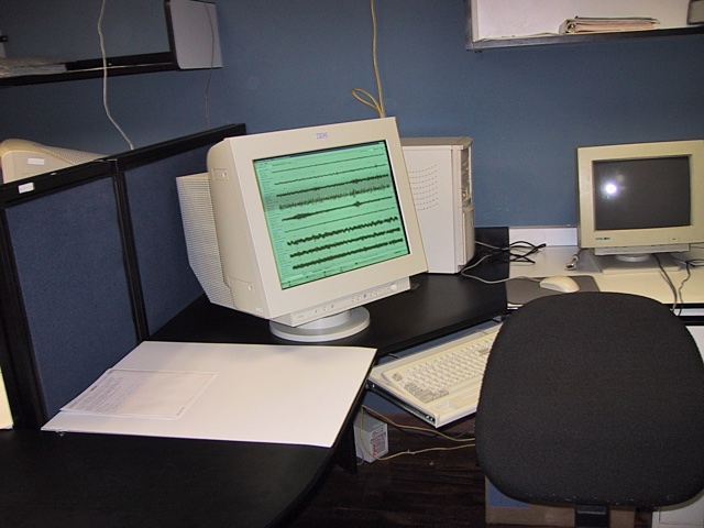
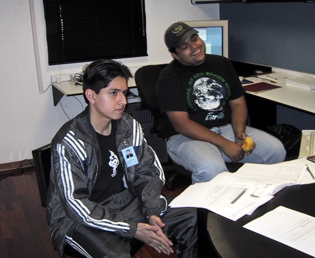
The control center at FUNVISIS had operators on duty 24 hours a day to monitor the system. Below are Renny and Ricardo who worked with the system.
2018-02-08