



Perched on a mountain top, looking out over the Torrente Salandrella (Salandrella Creek) and Fiume Cavone (Cavone River) valley, was the abandoned town of Craco, Basilicata.
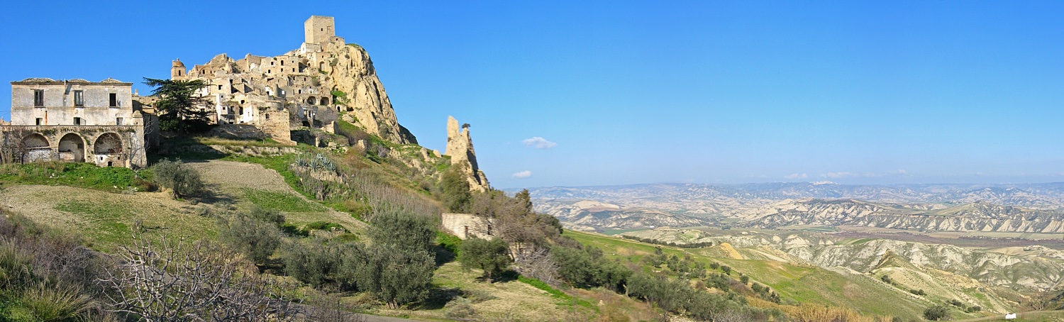
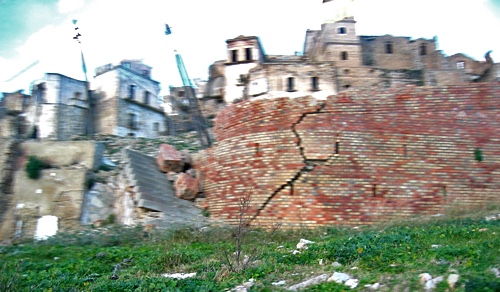
While the hill that the town was built on looked like rock it was actually a conglomerate which made it less than stable. On top of that, or more correctly underneath and on the sides of the hill, was a layer of clay that made everything sitting on top if it susceptible to moving where ever the layer of clay would let it slide. The trouble began around 1961 when a portion of the town was damaged by a landslide. When it was determined that a large portion of the town was in danger of sliding down the side of the hill the town did a perfectly reasonable thing. They built a retaining wall to try to keep the surface from sliding. Unfortunately the wall only made things worse. Probably what happened was that the wall not only kept the dirt from sliding, but also retained water behind it which made the clay under the surface very slippery. Think about how slippery a blob of wet clay is when it is on a spinning wheel being turned into a pot or a bowl. In 1973-74 the problem grew out of control and the town was abandoned. Below is a really bad picture of one portion of one of the retaining walls. It was failing to even retain itself. My only question is why after being around since at least 1276 A.D. did the town just start to slide in the 1960's?
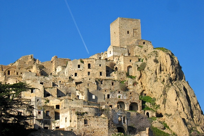
Just looking at Craco in the picture below makes it easy to believe that it is old. Its appearance made it good for use in the movies, which is just what happened. We did not find out about it until we were on a subsequent visit to the station during a service run, but this portion of Craco appeared in the Mel Gibson movie The Passion Of The Christ. We were there about a month before the movie was released. I just saw the movie the evening that I am typing this, and sure enough it was in the movie as the backdrop to the scene where Judas was being tormented by the group of children and then where he killed himself. I wonder if Mel had trouble with jet contrails messing up his movie takes? By the way...go see the movie, and not just for a glimpse of Craco.
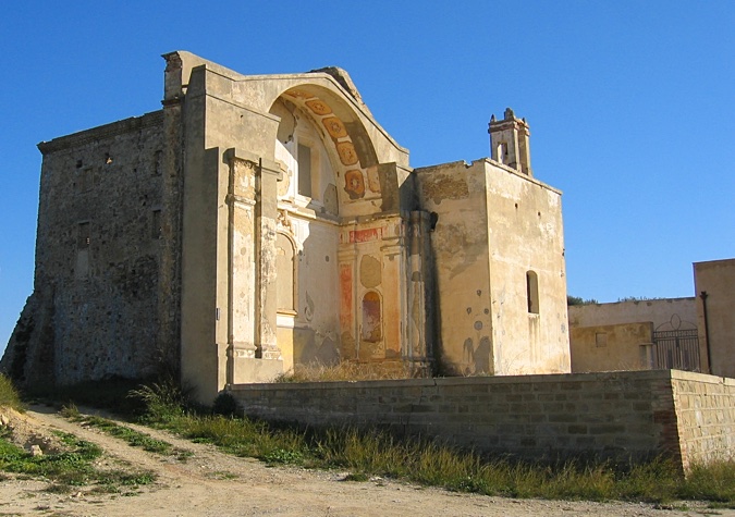
I did not quite understand this building. It looked like the front portion of a church that was missing all of the walls, but when you looked at the top of the foundation it looked as if there never had been any walls. I guess it could have been an open air theatre of some kind, but all of the stage entrances and exits were blocked.
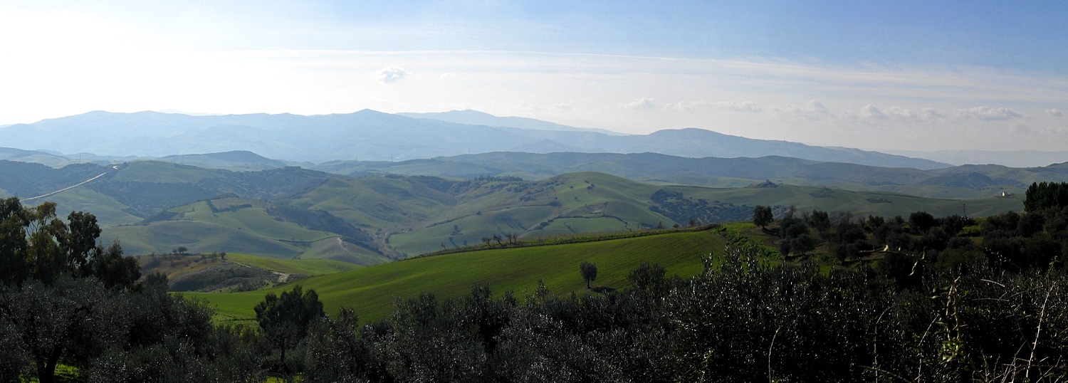
The countryside to the south of Craco.
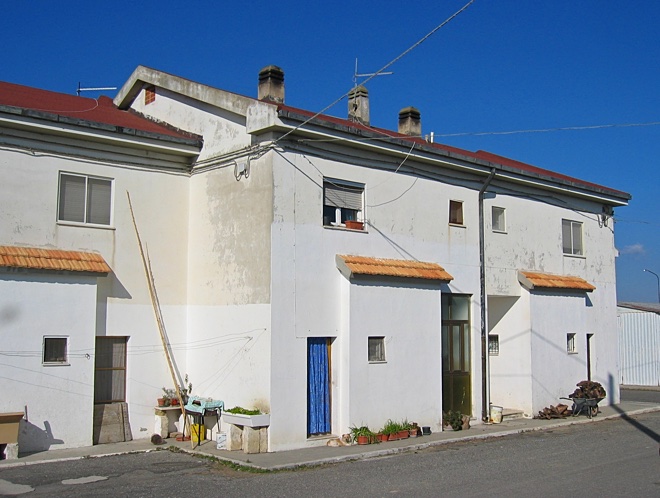
The new housing that was built by the government for the people that were evacuated from the old portion of the city, and that did not move down the hill to another town, is shown in the picture below. All of the new buildings were very functional and, well, dull. The people that we met while installing the station, however, were not dull at all.
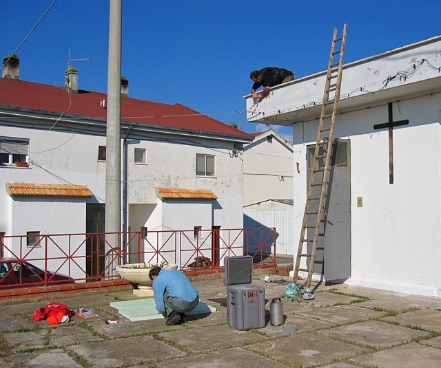
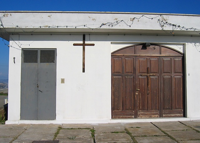
Borrowing a ladder from a farm down the street we attacked the town's church building and got the station installed with some parts on the roof, and others in a small equipment room in the corner of the building.
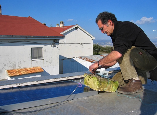
The GPS antenna was tied to a piece of stone which was placed on the edge of the solar panel on the roof to help hold it down. The far side of the solar panel in the picture below, and the bottom of the panel were slid under a lip at the edge of the roof. It would have taken quite a bit of wind to have blown it away.
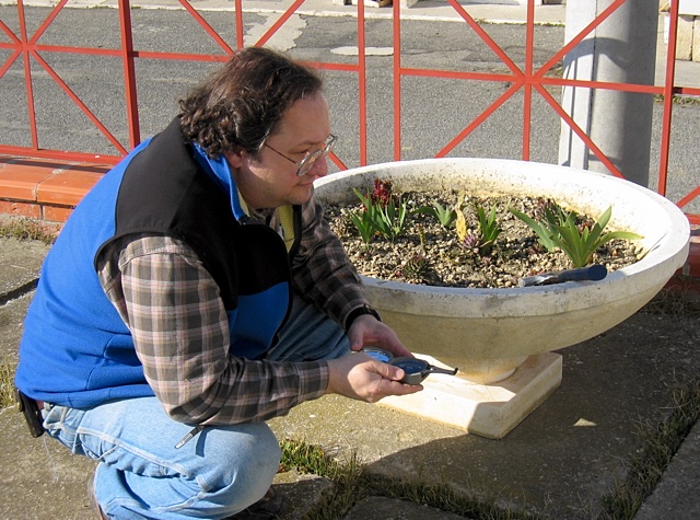
Art Lerner-Lam, one of the PI's from Lamont in the picture below, was checking the alignment of the sensor using a compass. The general procedure was to take a few steps back from the room where the senor was going to be placed and accurately determine the azimuth of one of the walls. The bezel of the compass was then adjusted to north with respect to the wall and the compass carefully carried into the room and then used to align the sensor. If the room was full of iron or other metal objects, and the compass went haywire when brought into the room we would just eyeball the alignment as best we could. The sensor needed to be aligned as accurately as possible since if it was pointing the wrong direction it would throw off the solution to determine where a recorded earthquake was located.
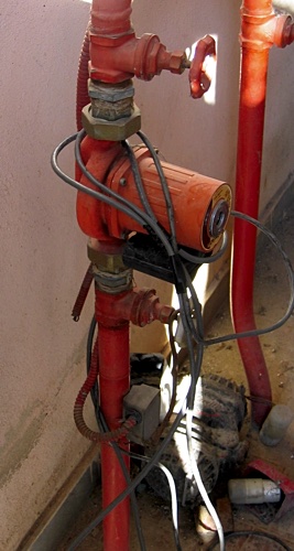
We tied the GPS and power cables coming from the roof to some plumbing in the room to prevent the equipment in the room from being 'rearranged', like the sensor at the station in Minervino was, if the cables outside were pulled on for any reason.
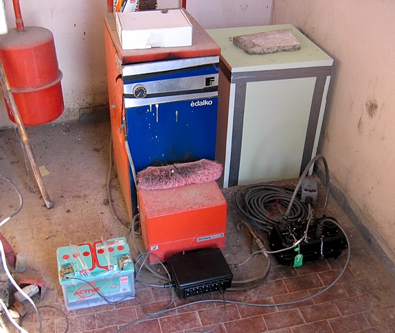
The blue and orange box in the picture below was a water heater for the church that was used for heating the building. While it was certainly cold enough it seemed that the heater was no longer used. The sensor was inside the light green insulating foam box on the right.
Craco was a nice place for the mixture of science and religion.
2018-02-08