


Not too long after the whole of central Italy was treated to a Christmas blanket of snow we went back to Montella to attempt to install the station. We were armed with a letter of explanation for the owner of the convent, and were going to the municipio to meet the owner and get clearance to install the station. Did I mention that it had recently snowed? Did I also mention that it was the holiday season? The municipio was closed, and after talking to the owner on the phone we learned that the road to the convent, on the short hill in the middle of the picture below, was too icy to safely make it up to the convent. We gave up and went home that day.
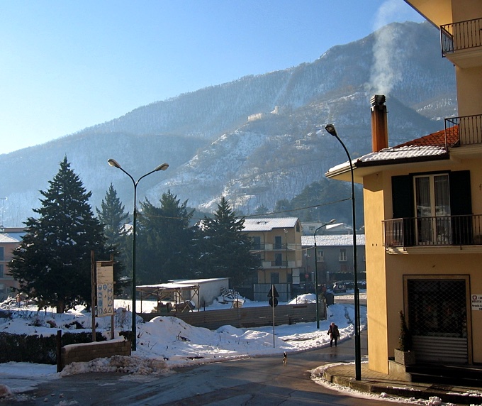
We returned to Montella about 10 days later.
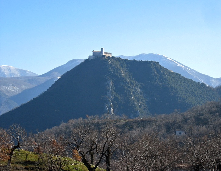
Below is Il Santuario Del S.S. Salvatore which is on a hill near Montella. We would have liked to have put a station there, but the hill it was on was too pointed. The shockwaves from an earthquake follow the terrain as they move out from the epicenter. Hills such as the one below can distort the shockwaves and cause inaccuracies in the recorded signals. Alteration of the waves by oddly-shaped terrain is known as topographic effects.
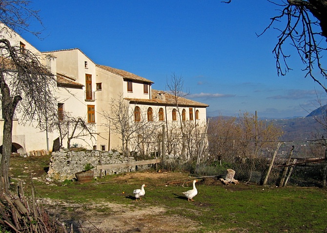
Geese make good watchdogs.
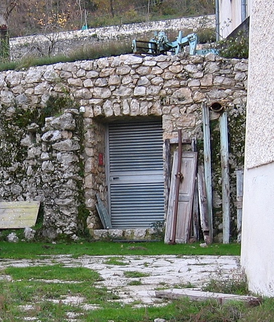
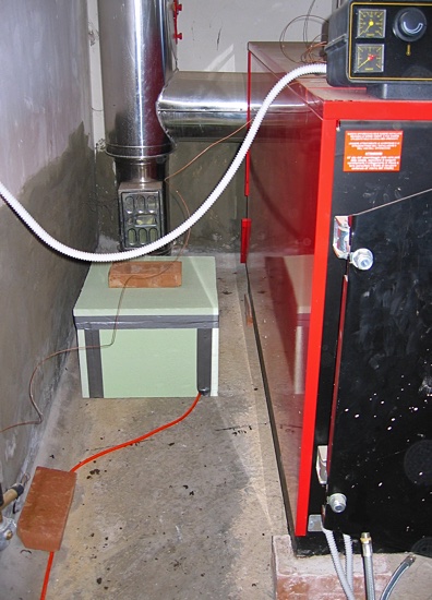
Adjacent to the convent was a room that contained a large water heating unit for the convent. It was not going to be used for another year or so since the restoration of the convent was not complete. The room was just right for a station.
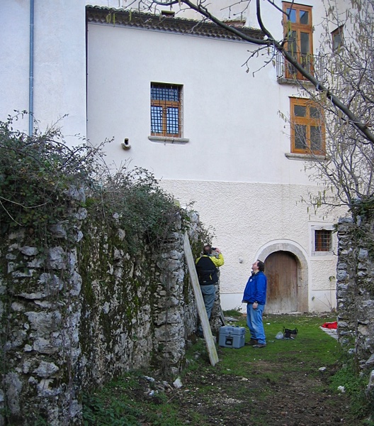
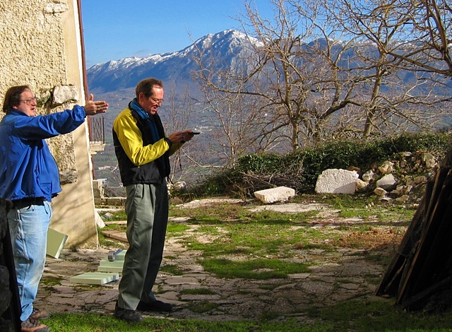
Alignment of the sensor was a bit of a challenge. The room was full of metal, so using a compass in the room was not possible. Below Art and John are attempting to find north...which ended up being behind them.
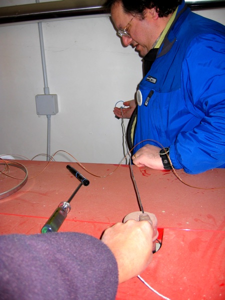
To transfer the compass measurement from outside and into the room I directed Art so he could place a dot on the far wall of the room which aligned with the compass needle that I was looking at way outside of the room and a pipe cap that was sticking up in the middle of the heater in the room. When the dot was in the right place we strung a wire between the pipe cap and the dot on the wall (left picture). Art then moved a pipe around on the floor with his foot and aligned it with the wire. Once the pipe on the floor was in the correct position Art drew a line on the floor. This line was our east-west reference which was used to aligned the sensor.
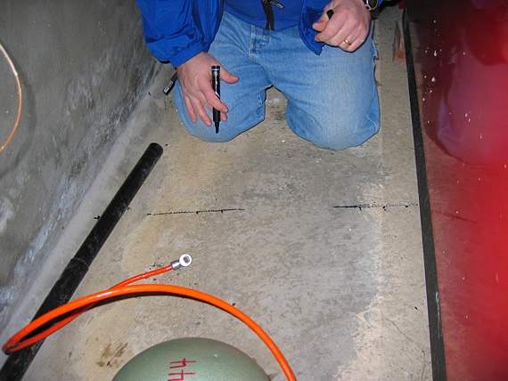
We tucked the sensor into the far corner of the room behind the heater to keep it from being disturbed.
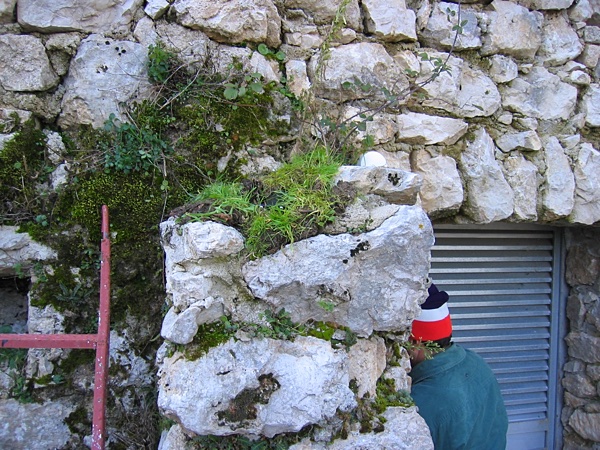
While the convent is privately owned, sort of, it is also under the control of the Italian government agency called the Bella Arte. They fund, and then control, the restoration and maintenance of historical sites throughout Italy. Once a site comes under the control of the Bella Arte the rules governing what can be done to, or at, a site become quite strict. The idea is that a historical site should be made to look like it originally did, and then kept that way as much as possible, especially on the outside. That is fair. Since our equipment was hidden away in a closed room we were covered, except for our GPS antenna. We ran the cable for the antenna out of the room to the top of a rock column outside the door to the room. We then arranged a few patches of grass around the antenna to hide it from view unless you were on a ladder. There was already some vegetation growing on top of the column, so it looked pretty natural. GPS antenna? What GPS antenna?
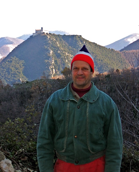
Below is Michele Biancaniello with Il Santuario Del S.S. Salvatore in the background. What a nice guy.
2018-03-03