


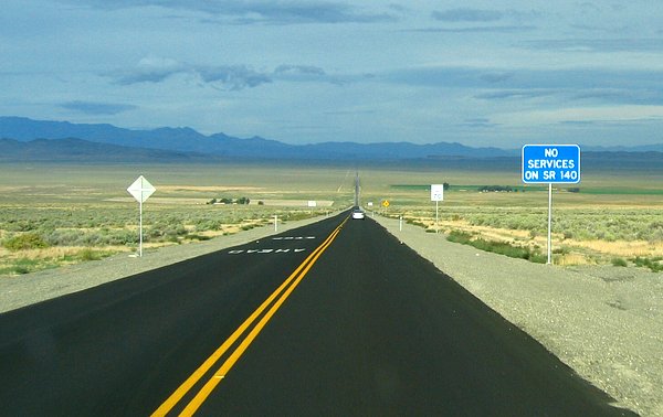
About 30 miles north of Winnemucca past places like Bloody Run Peak and Paradise Hill, state route 140 turned west off of US95 and headed out across the desert. This was how we got back and forth to the beginning of our work area for the first handful of days. The sign wasn't kidding.
On the way out to the work area on the first day we happened to pass our explosives truck making its way to fill drilled shot holes with the explosive of choice of terrorists, and geophysicists, ANFO (fertilizer and diesel fuel). Our plan was to only use it for peaceful purposes. The shockwaves produced by several underground explosions caused by us were to be recorded by the hundreds of instruments we were there to deploy.

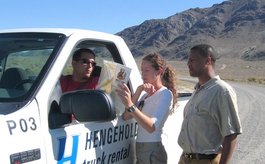
While there wasn't a whole lot of stuff in the area there were certainly a lot of dirt roads running around, and they all looked about the same. We all had GPS receivers as guides for the deployment teams and to record instrument positions, so we managed to not really "lose" anyone, but there was a lot of map-looking going on in the beginning. Below was during the first day. Julie Fosdick of Stanford, Ewnet Gashawbeza of Ethiopia via Stanford, and I stopped to check with Charlie, who had helped survey the line to make sure that we were headed in the right direction. We didn't want to put instruments out in the wrong place and look like complete idiots on our first day.
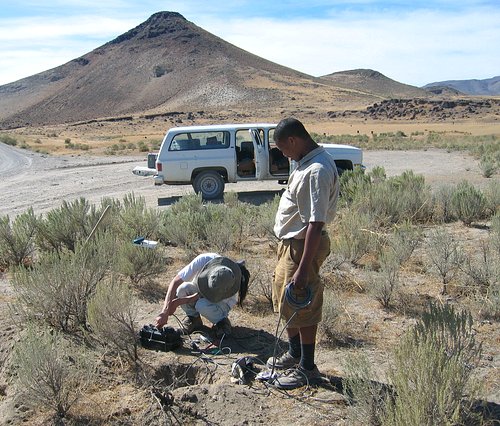
My first field mission was to help get 16 of the three-channel instruments deployed along one section of the main deployment line. Ewnet and Nathan Fung, both students at Stanford, and I hit the ground running. By the time we finished we were pretty close to crawling.
These stations were only going to be recording for a few days, so that greatly simplified their installation over that of a long-term station. In addition the sensors that we were going to be using were quick and simple to install.
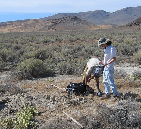
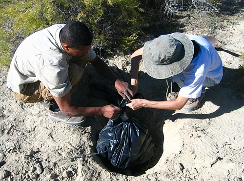
A shallow hole was dug and an L-28 sensor was aligned to north and leveled in the hole. The sensor was then buried. Simple. The latitude and longitude of each station was measured and recorded using handheld GPS receivers by the deployers. Now I'm not just talking about these 16 stations, but these stations plus the other 70 three-channel stations and all of the 1000 Texans. And this wasn't done just once for each station, but every time any of the 1100 sensors/stations were relocated, which in the case of the Texans was a lot. All of that information adds up to a lot of what is called metadata. Keeping it all straight and not losing any of it is what is called a nightmare.
A larger hole was dug next to the sensor hole. You can see the cable running to the sensor in the lower left-hand portion of the picture below. The recording unit and a 45 amp-hour battery were placed in a plastic bag and buried in this hole after starting the recorder. Also simple.
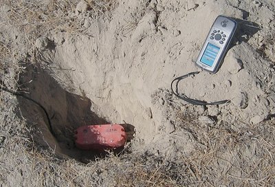
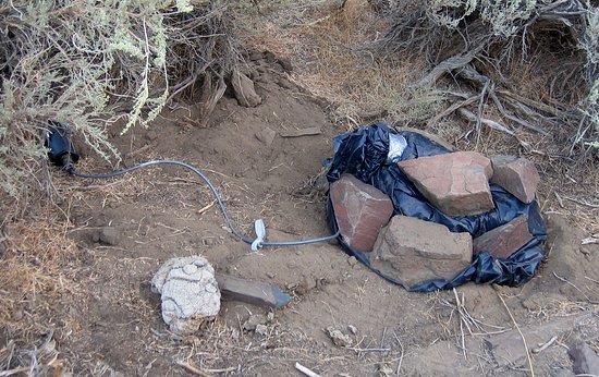
Sometimes the dirt was so hard we weren't even able to scratch out more than a small depression for the recorders and the batteries. The plastic bag just had to be left exposed, but hidden in the middle of some bushes. All of the stations were within 25 feet of the main road."Main" being a relative term out there in the wilderness.
As we progressed along the line we came to a place that was just sitting all by itself. It was known as the Leonard Creek Ranch.
A bit of an oasis, eh?
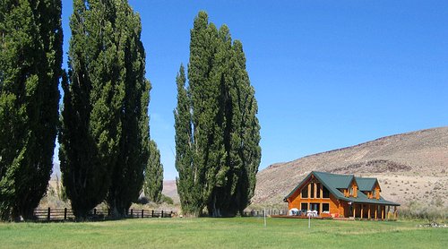
We skipped over the ranch to avoid all of the people noise that the place may have generated and continued deploying.
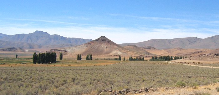
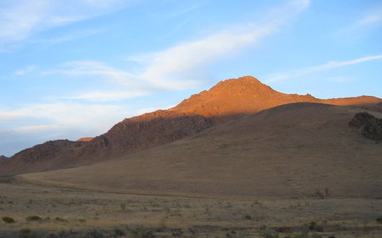
Below is Bartlett Peak which we drove by after we had finished for the day and while we made our way to Soldier Meadows Ranch which was our remote base of operations. With some of the terrain we traversed on the way to the ranch I could see that we had an easy part of the deployment line.
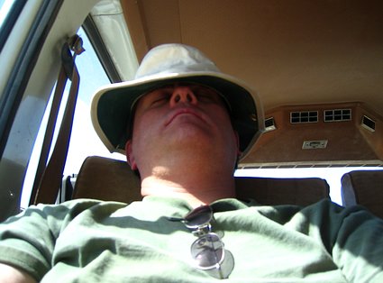
At the end of most days it was still a long trip back to Winnemucca or to the ranch. The picture below is only a simulation of sleep. Someone had to take the picture, but you get the idea.
2018-02-08