


In late summer of 2002 it rained a lot in Central Europe. A lot of places were under water including parts of Praha with several major European rivers bursting their banks.
From the BBC
I stole the flood pictures from news organizations on the web.
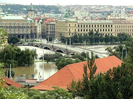
Below is a picture looking east across the Mánesův Most (Mánesův
Bridge) which is the next bridge downstream from Charles Bridge. You can see
some green grass under the trees on the far side and at the end of the bridge.
I don't know how they did it, but a dike was constructed along the east side
of the Vltava River which spared at least the Staré Město district.
I read that the water in the river rose to within 10 centimeters of the top
of the dike. You can see that part of the city on the west side of the river
(closest to you) was not so lucky. There should be grass and a road where
the water is to the left of the red roof.
Not taken by me
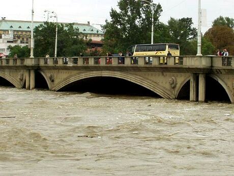
I don't recognize which bridge this is, but I'm sure that is water getting pretty close to the roadway. Up to 45,000 people in Praha, and 200,000 across the Czech Republic were forced out of their homes by the floods.
Not taken by me
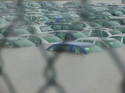
This looks like a parking lot for new automobiles. They look like they are too close together to have been used automobiles in a regular parking lot, and a lot of them are the same model.
Not taken by me
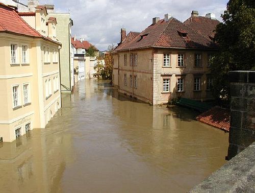
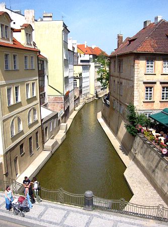
I took one "after" picture that just happened to correspond to a"before" picture that I found on the web. This is Čertovka which is a channel that is formed by Kampa Ostrov (Kampa Island) (the buildings on the right) and the west bank of the Vltava (the buildings on the left). This is the section of Čertovka channel that is right at the western end of Charles Bridge just before you get to the two towers. You can see part of the bridge in the lower right hand corner. If this section was under water it meant that many, many buildings were also flooded further inland in the Malá Strana district, because the district is fairly flat until you start up the sides of the hill where Praha Castle is located. In fact, the McDonalds and the Museum of Medieval Torture devices would have mostly been under water.
Not taken by me
Below, eight months later, everything is back to normal. The interiors of some of the buildings may not have been finished, but from the outside most everything looked great. This small area is known as the Venice of Praha, because of the way the buildings come up out of the water. There aren't any gondolas, though.
There was one area south along the Čertovka channel where the eventual depth of the flood waters could still be easily seen. This was near the remaining waterwheel driven mill (there were more in the past) on the Čertovka. You can see the top of the water wheel on the other side of the bridge in the picture below.
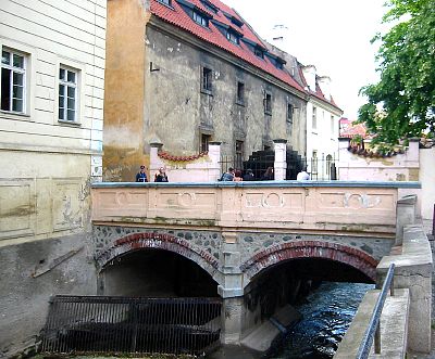
This is looking south from the bridge in the picture above.
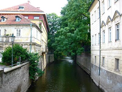
Below is on the bridge. You can see how deep the water was on the wall.
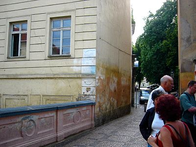
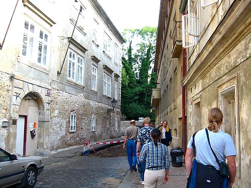
All of the plaster on the exteriors of all of the buildings had to be removed (as well as all of the contents of the interiors). Below you can also see where the road is still being repaired. This was the only section of town (though I'm sure there must have been others away from the areas frequented by tourists) where you could see that something had happened. Quite amazing.
2018-03-06